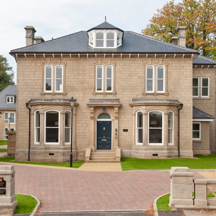
Melton Fields
North Ferriby, East Riding of Yorkshire
This large rural site of 38 hectares near to North Ferriby in the East Riding, has had planning permission for up to 1.5 million square feet of commercial development since 2001, but expectations that this will ever be fully developed have evaporated in the recession. Our client, the site’s owner St Modwen, is seeking outline planning permission for residential use across most of the site, as a more viable alternative to the consented commercial scheme.
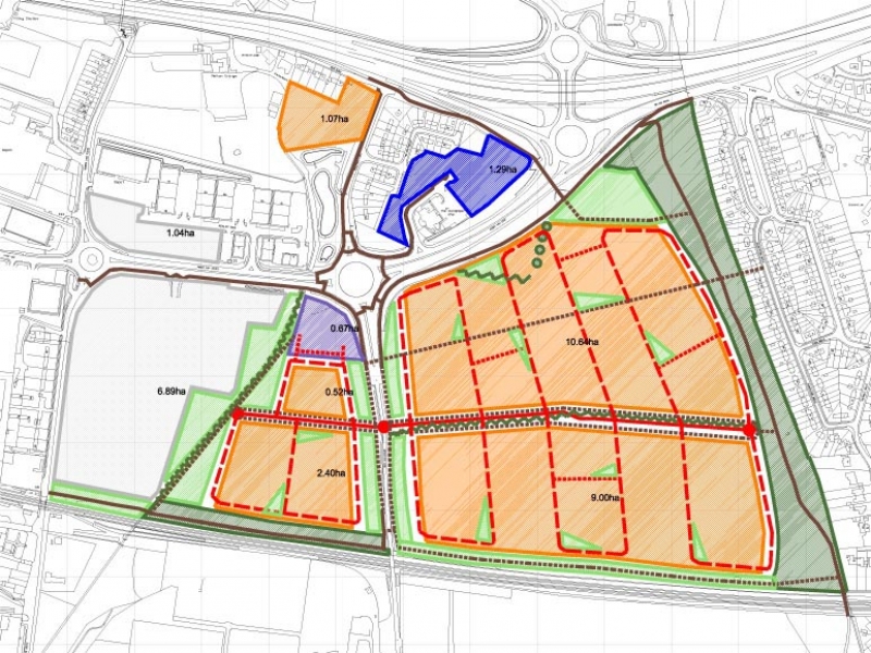
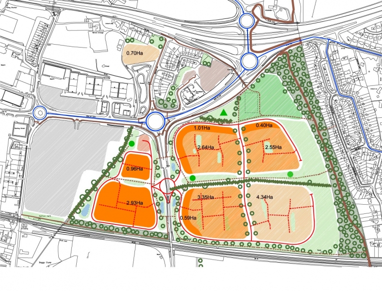
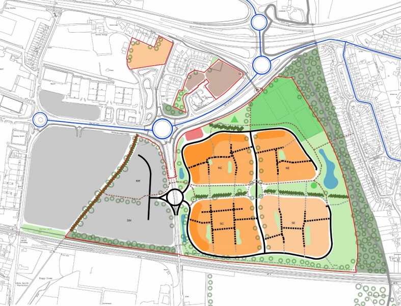
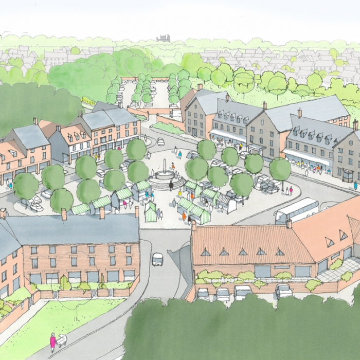
The proposed scheme would have up to 390 new houses, a small local centre with shops, a 50-bed nursing home and sheltered housing, and retains around seven hectares for commercial-industrial use. Perhaps the two main obstacles to the proposed residential scheme are local opposition to having more houses with the consequent demand on services, especially local school places; and the local authority’s desire to maintain employment land adjoining the A63/M62 corridor.
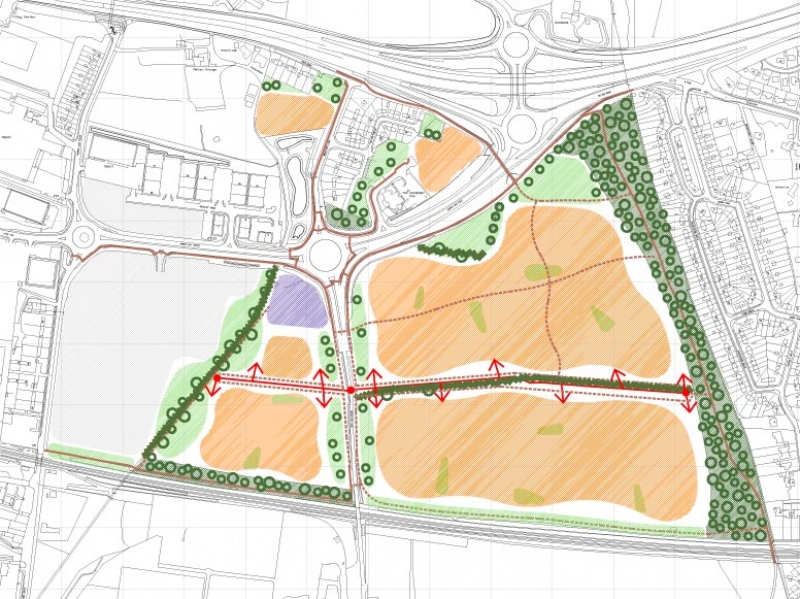
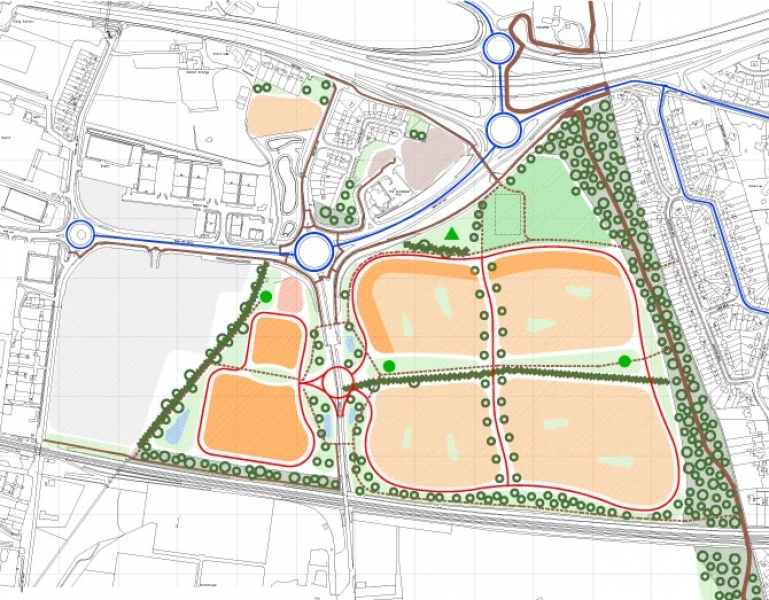
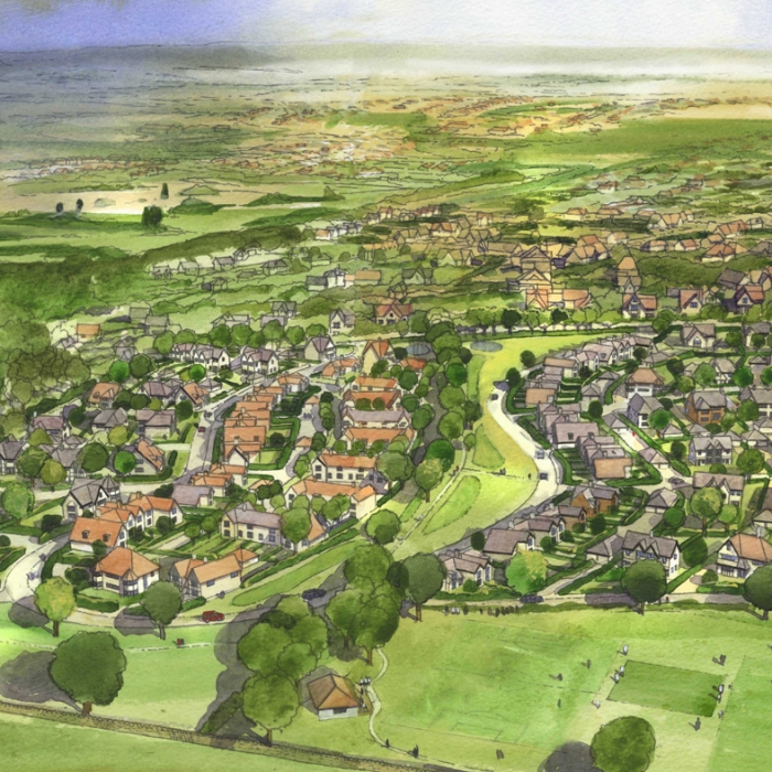
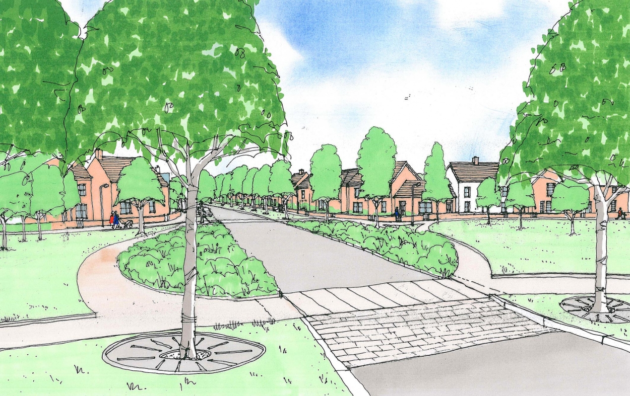
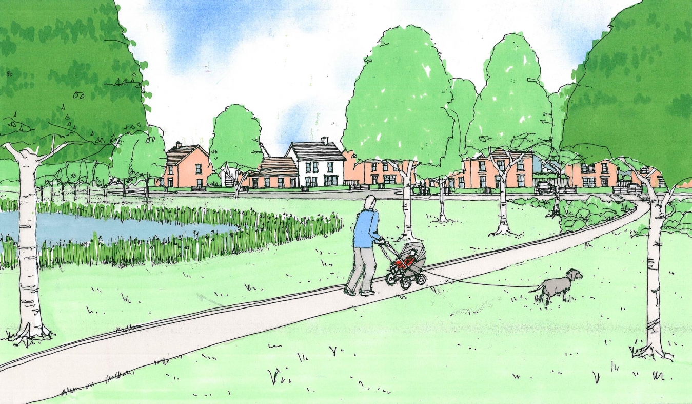
The scheme has developed gradually with various public consultation events, and meetings with the local authority shaping the content and structure of the proposals. The concept for the design is to provide a broad range of locally distinctive housing in a high quality landscaped environment. It provides a large amount of public open space – far more than required by planning policy, in addition to formal playing fields, playgrounds and recreation space. It also has a network of footpaths and bicycle routes that would benefit the existing residents of North Ferriby and Melton as much as the new residents.
A long and narrow wood forming a border to the western edge of North Ferriby, known as the Long Plantation, provides a natural break between the village and the proposed housing scheme. This would be augmented with a new nature park approx. 75m wide, running the full length of the site’s eastern boundary that would provide a natural habitat for wild flowers and insects in particular, enhancing the biodiversity of the area.
The local resident’s concerns about the impact on their communities have been addressed as far as possible, with the developer offering land for additional school building, and the amount of housing reduced significantly from the initial proposals.
The outline application was submitted with an illustrative master plan – like an aerial photograph of how it would look, and a very detailed design and access statement that contains a detailed analysis of the housing character of the nearby villages, visualisations of the development – especially the landscaped elements, and a detailed breakdown of the amount of space allocated to each component of the scheme.